
In a recent episode of the Sustainable Supply Chain podcast, John Atkinson, Chief Product Officer at LiveEO, discussed the transformative impact of satellite data on supply chain management and EUDR compliance.
Listen to the full episode below
Satellite Technology for Sustainable Supply Chains: FAQ
In the FAQ below, based on the insights shared during the podcast, John answers some of the most pressing questions about satellite technology’s role in ensuring sustainable supply chains and navigating the complexities of the European Union Deforestation Regulation (EUDR).
1. What is the role of satellite data in EUDR compliance?
John Atkinson: Satellite data plays an indispensable role in monitoring deforestation and ensuring compliance with the EUDR.
Through high-resolution imagery, businesses can track environmental changes in real time, identifying deforestation trends and land use changes.
This enables them to verify that the commodities they import are not linked to illegal deforestation after the cut-off date of January 1, 2020. Earth observation data is key for providing evidence that supports compliance and helps avoid costly fines.
2. What challenges do companies face with open-source deforestation data?
John Atkinson: One of the biggest challenges with open-source data is its tendency to produce false positives. For example, we reviewed 540 plots using open-source data and found that 320 of them were incorrectly flagged for deforestation. The actual number of deforested areas was much lower, only 74.
These inaccuracies can unnecessarily disrupt supply chains and disqualify compliant suppliers.
Companies need to invest in higher-quality data to avoid these issues.
3. How does LiveEO’s TradeAware solution address false positives?
John Atkinson: TradeAware uses machine learning and high-resolution satellite imagery to reduce false positives and provide more accurate insights into deforestation events. By comparing data sets and leveraging advanced analytics, TradeAware can pinpoint where deforestation has occurred and ensure that only non-compliant plots are flagged.
This accuracy helps businesses stay compliant with EUDR and keeps sustainable suppliers in the market, preventing unnecessary disruptions to their supply chains.
Read also: Achieving EUDR Compliance: A Guide to Deforestation Data Sources
4. Can satellite imagery monitor more than just deforestation?
John Atkinson: Absolutely. While deforestation monitoring is a key application, satellite data can also be used to track biodiversity, monitor water resources, and assess environmental risks such as wildfires and floods.
This broader view helps businesses manage their supply chains more responsibly and make better decisions around sustainability.
In regions prone to disasters like wildfires, early detection through satellite imagery allows for proactive riskmanagement, reducing potential damages and ensuring compliance with regulations.
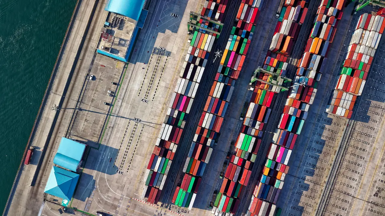
5. How does EUDR compliance impact global supply chains?
John Atkinson: EUDR compliance introduces a new level of complexity to global supply chains, particularly for companies dealing with commodities like palm oil, soy, and coffee. Businesses need to trace their products back to the plot level to prove that deforestation has not occurred after the 2020 cut-off.
This requires not only detailed supply chain records but also accurate geospatial data to verify compliance. Those who are prepared can gain a competitive advantage, while those relying on inaccurate or incomplete data may face disruptions.
{{inline}}
Read also: 28 EUDR Definitions You Need to Know
6. What advantages do companies gain by using satellite data for EUDR compliance?
John Atkinson: The primary advantage is the confidence that comes with accurate data. Businesses can provide verifiable proof that their products are sourced sustainably and in compliance with EUDR regulations.
This can protect them from non-compliance penalties like legal risks, fines, and reputational damage. Additionally, companies that embrace satellite-based solutions like TradeAware can improve their transparency and accountability, building trust with consumers and regulators.
It’s also a competitive advantage—those who are better prepared for EUDR will outperform competitors who may struggle with compliance.
7. What does the future hold for satellite-based sustainability solutions?
John Atkinson: The future of satellite technology in sustainability is incredibly exciting.
We’re already seeing trends like real-time data access and the integration of AI and machine learning, which make satellite-based solutions more accurate and accessible.
We expect to see further specialization, with tailored solutions for different regions and ecosystems.
Moreover, as regulations like EUDR become more widespread globally, there will be an increasing demand for verified sustainability certifications based on satellite data, which will become a standard in industries like agriculture and forestry.
Conclusions
Satellite data is playing an increasingly vital role in ensuring compliance with sustainability regulations like the EUDR, while also helping companies enhance transparency and accountability in their supply chains.
As highlighted by John in the podcast, leveraging precise geospatial data not only ensures regulatory compliance but also provides a competitive edge in today's market.
Interested in how your business can benefit from satellite data for EUDR compliance and sustainability? Contact us to learn more about how LiveEO’s solutions, like TradeAware, can support your sustainability goals and strengthen your supply chain.